
Hike Ranking: Up to 8km out and back.
Level 1: mostly paved, some steep hills near Chicopee.
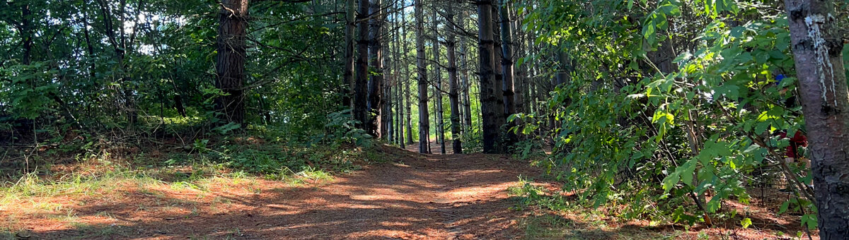
The hike is runs through parkland along a tree-bordered power line and wooded hills and offer great views across the city.
Parking: At the Stanley Park shopping mall south end furthest from Ottawa St. and near Walmart. The Dom Cardillo Trail runs along the edge of the parking lot.
[Coordinates: GPS: 43.448520, -80.443807]
Walk across River Rd. E. and follow the trail through parkland and on through the wooded power line section. You will cross three quiet streets, and then Fairway Rd. The trail continues across the road, where you keep to the right to avoid private lanes. Cross two small streets and keep to the wooded trail to reach Chicopee Tube Park and its parking lot.
One option is circle the park and continue on a complex of quiet roads and trails to follow the Grand River to Woolner Trail and beyond. Another option is to follow the trails from the mall in the opposite direction, cross Ottawa St., pick up the trail 200m on your left, and walk the Stanley Park trails for a further 4km out and back.
