
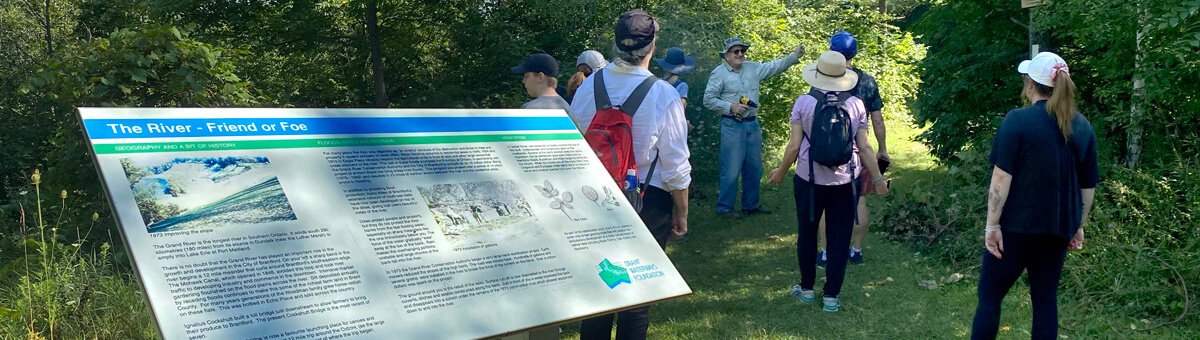
The Grand Valley Trail is a 250-kilometre footpath that stretches between the village of Belwood to Port Maitland, near Rock Point Provincial Park, on Lake Erie, south of Dunnville. The trail is marked with white blazes approximately 5 cm wide by 15 cm high. The trail is divided into four sections.
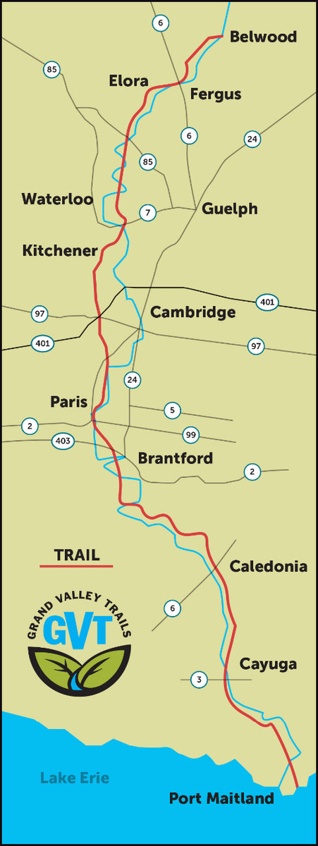
- 40 km. Runs between the village of Belwood to Middlebrook Place (formerly Middlebrook Road), near the steel bridge.
- 75.6 km. Runs between Middlebrook Place (formerly Middlebrook Road), near the steel bridge to Brant-Waterloo Road.
- 68.9 km. Runs between Brant-Waterloo Road to Haldimand-Onondaga Towline Road at LaFortune Conservation area.
- 65.3 km. Runs from Haldimand-Onondaga Townline Road at LaFortune Conservation area to Port Maitland near Rockpoint Provincial Park.
