
Hike Rating: < 11km out and back.
Level 1: Mostly level with a couple of hills, partly paved.
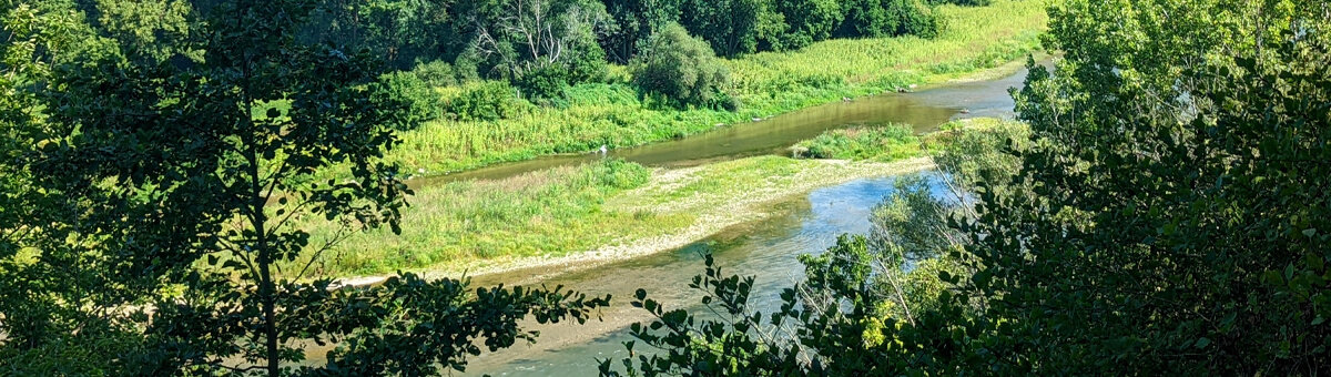
The hike will follow paths with views of the Grand River, through parks and into historic central Galt, returning along mostly wooded riverside trails. You can also do an out and back along the same route.
Start at the rare Eco Centre/Slit Barn parking lot. 768 Blair Rd. Cambridge.
[Coordinates: GPS: 43.381139, -80.357750]
From the parking lot follow a short narrow trail and turn right at the wide Walter Bean Trail heading towards Galt. After the wooded area the trail is paved and hilly, coming to a low spot where a large stream comes through a tunnel and under the trail. This is Devil’s Creek. Go up through the tunnel following the park and stream to Blair Rd. where you will see the trail continuation across the road on the right. This goes through interesting Environmentally Sensitive Policy Area and Provincially Significant Wetland and up to Blenheim Rd. Turn left and walk to the next woodland where there is a trail which you take. Follow it into Victoria Park. Turn left at the end of the park and go into historic downtown Galt where you may choose to explore the historic downtown and some excellent cafes.
Return Route: From downtown Galt head left to find Riverbluffs Park, stopping to check out the pollinator preserve next to the boat ramp before continuing back on the partly wooded riverside trail.
