
Hike Rating: 7.6 km out and back
Level 1: Wide, unpaved trails, mostly level but with a steep hill near the beginning.
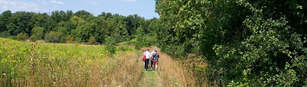
A pretty route following the Grand River with varied scenery includes woods, open areas, some housing. Mostly on or next to the Grand Valley Trail.
Parking: Lot is just off Otterbein Rd, Kitchener at the Walter Bean Trail (M.R. Good Family Trailway). Go east on Ottawa St until it dead-ends, left on Keetwatin Ave, first right on Misty St., right on Otterbein Rd for about 0.5 km to the parking lot beside the river.
[GPS: 43.460167, -80.420015]
From the car park, the wide trail follows the Grand River past Woolner Trail and on to Chicopee. Much of the walk could be done on the adjacent narrow trail through the woods, where you need to go single file. This is the Grand Valley Trail, shown by white blazes on the trees. It is shaded and pretty with good views of the river.
Options to continue the walk from Woolner Trail to Chicopee, or to do the return walk Woolner Trail to Otterbein:
Parking: Coming from Kitchener, at the last roundabout just before the Fairway Rd. bridge, turn right towards the river on Woolner Trail. The small parking area is on the left just before the road ends at the river.
From the end of Woolner Trail, turn right, follow the pretty, paved, hilly trail to Chicopee, with lookouts over the Grand River. The Grand Valley Trail parallels the paved trail in places, going through the woods and indicated by the white blazes on the trees. There are several options for the Chicopee end of the route, including various community trails and some very quiet suburban roads.
Start at the small parking lot near the end of Woolner Trail. From the inner end of the parking lot, follow the wide, unpaved trail to the river and follow it upstream towards the Otterbein car park and back.
